#10910 Postby CrazyC83 » Thu Feb 02, 2017 9:20 pm
The posts in this forum are NOT official forecast and should not be used as such. They are just the opinion of the poster and may or may not be backed by sound meteorological data. They are NOT endorsed by any professional institution or STORM2K. For official information, please refer to products from the National Hurricane Center and National Weather Service.
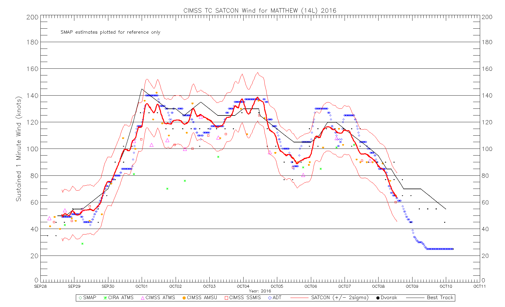
Originally posted October 9, 2016 but I have updated it based on all our findings (and brought it to the end of the BT). We'll see how this compares to the NHC track. I didn't change the peak intensity, but increased the Haiti landfall (to 135 kt/930 mb) and decreased the intensity during a lot of the time from Cuba to South Carolina. I didn't bother with a pre-TC track, but I did extend the post-tropical stage as I don't believe a new low took over on October 10 (per the NHC) and instead believe Matthew was a continuous entity in that time until it dissipated around 1800Z October 11.
AL142016, MATTHEW, 52,
20160928, 1200, , TS, 13.7N, 58.6W, 50, 1006,
20160928, 1800, , TS, 13.8N, 61.0W, 50, 1004,
20160929, 0000, , TS, 13.9N, 62.9W, 55, 1003,
20160929, 0600, , TS, 14.0N, 64.4W, 60, 1000,
20160929, 1200, , HU, 14.1N, 65.6W, 65, 996,
20160929, 1800, , HU, 14.1N, 67.0W, 70, 992,
20160930, 0000, , HU, 14.2N, 68.2W, 75, 987,
20160930, 0600, , HU, 14.1N, 69.3W, 90, 977,
20160930, 1200, , HU, 13.7N, 70.4W, 100, 970,
20160930, 1800, , HU, 13.5N, 71.3W, 115, 958,
20161001, 0000, , HU, 13.4N, 71.9W, 140, 944, Maximum wind
20161001, 0600, , HU, 13.3N, 72.7W, 135, 941,
20161001, 1200, , HU, 13.3N, 73.1W, 120, 945,
20161001, 1800, , HU, 13.1N, 73.4W, 125, 942,
20161002, 0000, , HU, 13.2N, 73.4W, 130, 940,
20161002, 0600, , HU, 13.6N, 73.9W, 125, 943,
20161002, 1200, , HU, 14.1N, 74.4W, 115, 946,
20161002, 1800, , HU, 14.3N, 74.7W, 115, 944,
20161003, 0000, , HU, 14.5N, 75.0W, 120, 942,
20161003, 0600, , HU, 14.9N, 75.0W, 120, 941,
20161003, 1200, , HU, 15.4N, 74.9W, 125, 940,
20161003, 1800, , HU, 15.9N, 74.8W, 125, 938,
20161004, 0000, , HU, 16.7N, 74.6W, 130, 935,
20161004, 0600, , HU, 17.3N, 74.4W, 135, 932,
20161004, 1115, L, HU, 18.3N, 74.2W, 135, 930, Landfall, Les Anglais, Haiti and minimum pressure
20161004, 1200, , HU, 18.4N, 74.2W, 125, 937,
20161004, 1800, , HU, 19.3N, 74.3W, 120, 947,
20161005, 0000, , HU, 20.0N, 74.4W, 115, 950,
20161005, 0045, L, HU, 20.1N, 74.4W, 115, 951, Landfall, Rio Seco in Guantanamo Province, Cuba
20161005, 0600, , HU, 20.7N, 74.4W, 110, 960,
20161005, 1200, , HU, 21.4N, 74.8W, 105, 963,
20161005, 1800, , HU, 22.2N, 75.4W, 100, 962,
20161006, 0000, , HU, 23.1N, 76.0W, 95, 960,
20161006, 0600, , HU, 23.8N, 76.6W, 105, 952,
20161006, 1200, , HU, 24.6N, 77.4W, 125, 937,
20161006, 1800, , HU, 25.6N, 78.2W, 115, 936,
20161007, 0000, L, HU, 26.6N, 78.9W, 105, 936, Landfall, between West End and Freeport on Grand Bahama
20161007, 0600, , HU, 27.7N, 79.7W, 100, 939,
20161007, 1000, C, HU, 28.5N, 80.2W, 100, 942, Closest point of approach to Cape Canaveral FL (E 15 nautical miles)
20161007, 1200, , HU, 28.8N, 80.3W, 100, 943,
20161007, 1800, , HU, 29.7N, 80.8W, 95, 946,
20161008, 0000, , HU, 30.6N, 80.7W, 90, 948,
20161008, 0600, , HU, 31.6N, 80.7W, 80, 954,
20161008, 1200, , HU, 32.4N, 80.0W, 70, 961,
20161008, 1515, L, HU, 33.0N, 79.4W, 65, 965, Landfall, Lighthouse Island SC (S of Awendaw)
20161008, 1800, , HU, 33.6N, 78.9W, 65, 969,
20161008, 2130, L, HU, 33.9N, 78.1W, 65, 974, Landfall, Oak Island NC
20161009, 0000, , HU, 34.0N, 77.3W, 70, 977,
20161009, 0600, , LO, 34.9N, 75.7W, 70, 979,
20161009, 1200, , LO, 35.2N, 74.3W, 70, 982,
20161009, 1800, , EX, 35.4N, 72.8W, 70, 983,
20161010, 0000, , EX, 36.0N, 70.9W, 65, 985,
20161010, 0600, , EX, 37.8N, 68.7W, 65, 990,
20161010, 1200, , EX, 41.0N, 66.0W, 60, 992,
20161010, 1800, , EX, 43.5N, 62.5W, 60, 989,
20161011, 0000, , EX, 44.9N, 60.3W, 55, 993,
20161011, 0600, , EX, 45.3N, 58.0W, 50, 995,
20161011, 1200, , EX, 45.9N, 55.6W, 50, 997,
1 likes


