CHGHUR
TROPICAL CYCLONE GUIDANCE MESSAGE
NWS NATIONAL HURRICANE CENTER MIAMI FL
1242 UTC SAT JUN 28 2014
DISCLAIMER...NUMERICAL MODELS ARE SUBJECT TO LARGE ERRORS.
PLEASE REFER TO NHC OFFICIAL FORECASTS FOR TROPICAL CYCLONE
AND SUBTROPICAL CYCLONE INFORMATION.
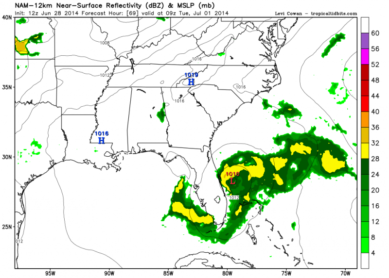
ATLANTIC OBJECTIVE AIDS FOR
DISTURBANCE INVEST (AL912014) 20140628 1200 UTC
...00 HRS... ...12 HRS... ...24 HRS... ...36 HRS...
140628 1200 140629 0000 140629 1200 140630 0000
LAT LON LAT LON LAT LON LAT LON
BAMS 32.5N 78.6W 32.1N 78.7W 31.6N 79.0W 31.1N 79.3W
BAMD 32.5N 78.6W 32.1N 78.5W 31.7N 78.9W 31.4N 79.2W
BAMM 32.5N 78.6W 32.2N 78.5W 31.8N 78.8W 31.4N 79.1W
LBAR 32.5N 78.6W 32.1N 77.5W 31.6N 76.5W 31.2N 75.7W
SHIP 20KTS 24KTS 27KTS 32KTS
DSHP 20KTS 24KTS 27KTS 32KTS
...48 HRS... ...72 HRS... ...96 HRS... ..120 HRS...
140630 1200 140701 1200 140702 1200 140703 1200
LAT LON LAT LON LAT LON LAT LON
BAMS 30.7N 79.8W 30.4N 80.9W 30.6N 81.8W 31.6N 81.9W
BAMD 31.2N 79.6W 31.0N 80.8W 31.7N 82.1W 33.5N 81.9W
BAMM 31.1N 79.4W 30.9N 80.4W 31.3N 81.4W 32.7N 80.9W
LBAR 30.9N 75.0W 31.0N 73.5W 32.2N 72.4W 35.0N 71.1W
SHIP 36KTS 43KTS 47KTS 51KTS
DSHP 36KTS 43KTS 41KTS 29KTS
...INITIAL CONDITIONS...
LATCUR = 32.5N LONCUR = 78.6W DIRCUR = 125DEG SPDCUR = 7KT
LATM12 = 33.4N LONM12 = 80.1W DIRM12 = 129DEG SPDM12 = 7KT
LATM24 = 34.3N LONM24 = 81.3W
WNDCUR = 20KT RMAXWD = 60NM WNDM12 = 15KT
CENPRS = 1016MB OUTPRS = 1018MB OUTRAD = 100NM SDEPTH = S
RD34NE = 0NM RD34SE = 0NM RD34SW = 0NM RD34NW = 0NM