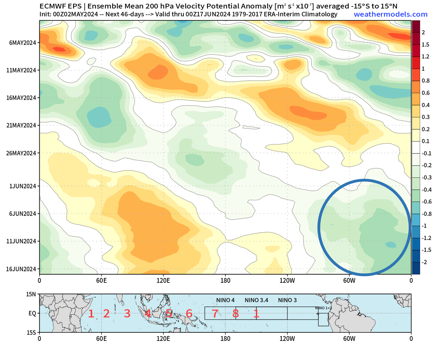
https://twitter.com/TropicalTidbits/status/1786531319423639912
2024 Global Model Runs Discussion (Out thru day 16)
Moderator: S2k Moderators
Forum rules

The posts in this forum are NOT official forecasts and should not be used as such. They are just the opinion of the poster and may or may not be backed by sound meteorological data. They are NOT endorsed by any professional institution or STORM2K. For official information, please refer to products from the National Hurricane Center and National Weather Service.
-
cycloneye

- Admin

- Posts: 139252
- Age: 67
- Joined: Thu Oct 10, 2002 10:54 am
- Location: San Juan, Puerto Rico
Re: 2024 Global Model Runs Discussion (Out thru day 16)
2 likes
Visit the Caribbean-Central America Weather Thread where you can find at first post web cams,radars
and observations from Caribbean basin members Click Here
and observations from Caribbean basin members Click Here
-
DorkyMcDorkface

- Category 2

- Posts: 719
- Age: 26
- Joined: Mon Sep 30, 2019 1:32 pm
- Location: Mid-Atlantic
Re: 2024 Global Model Runs Discussion (Out thru day 16)
cycloneye wrote:https://twitter.com/TropicalTidbits/status/1786531319423639912
Evident on the EPS as well. We'll see how this evolves over the next few weeks. Definitely more intrigued by this period than the one mid-month.
1 likes
Floyd 1999 | Isabel 2003 | Hanna 2008 | Irene 2011 | Sandy 2012 | Isaias 2020
-
cycloneye
- Admin
- Posts: 139252
- Age: 67
- Joined: Thu Oct 10, 2002 10:54 am
- Location: San Juan, Puerto Rico
Re: 2024 Global Model Runs Discussion (Out thru day 16)
1 likes
Visit the Caribbean-Central America Weather Thread where you can find at first post web cams,radars
and observations from Caribbean basin members Click Here
and observations from Caribbean basin members Click Here
-
skyline385

- Category 5

- Posts: 2480
- Age: 33
- Joined: Wed Aug 26, 2020 11:15 pm
- Location: Houston TX
Re: 2024 Global Model Runs Discussion (Out thru day 16)
Well there is a disturbance now, slightly earlier than EPS so guessing MJO is moving faster on GFS. Also obligatory max range disclaimer, take it with a grain of salt.


0 likes
-
StPeteMike

- Category 1

- Posts: 373
- Joined: Thu Jun 07, 2018 11:26 pm
Re: 2024 Global Model Runs Discussion (Out thru day 16)
This will likely develop into an EPAC storm the closer we get to that time range. Time to start the season of phantom storms in the Caribbean! haha
4 likes
The above post is not official and should not be used as such. It is the opinion of the poster and may or may not be backed by sound meteorological data. It is not endorsed by any professional institution or storm2k.org. For official information, please refer to the NHC and NWS products.
-
skyline385
- Category 5
- Posts: 2480
- Age: 33
- Joined: Wed Aug 26, 2020 11:15 pm
- Location: Houston TX
Re: 2024 Global Model Runs Discussion (Out thru day 16)
StPeteMike wrote:This will likely develop into an EPAC storm the closer we get to that time range. Time to start the season of phantom storms in the Caribbean! haha
Yea, exactly what I was thinking lol. Although I am giving the GFS a slight benefit of the doubt for end of May simply because its on the EPS too.
3 likes
-
StPeteMike
- Category 1
- Posts: 373
- Joined: Thu Jun 07, 2018 11:26 pm
Re: 2024 Global Model Runs Discussion (Out thru day 16)
Obviously very far out and has zero confidence, but GFS is trying to cut off a low from a front around the 20th in the GoM. I believe the European has also been showing some hints of a weak low forming in the Gulf around this time. If anything forms, will likely be short lived and weak to match climatology for this time of year.

4 likes
The above post is not official and should not be used as such. It is the opinion of the poster and may or may not be backed by sound meteorological data. It is not endorsed by any professional institution or storm2k.org. For official information, please refer to the NHC and NWS products.
-
cainjamin

- Tropical Storm

- Posts: 163
- Age: 33
- Joined: Mon Apr 17, 2017 1:38 pm
- Location: Nova Scotia, Canada
Re: 2024 Global Model Runs Discussion (Out thru day 16)

First run of the GFS showing a bonafide storm forming in the Western Caribbean. Who wants to guess how many more until it shows a major hurricane in May?
All joking aside, the last week of May and first week of June does look favourable for development in the Western Caribbean. Shear will likely keep it in check as it moves north should anything form however.
7 likes
Noel '07, Kyle '08, Earl '10, Arthur '14, Dorian '19, Teddy '20, Lee '23
-
StPeteMike
- Category 1
- Posts: 373
- Joined: Thu Jun 07, 2018 11:26 pm
Re: 2024 Global Model Runs Discussion (Out thru day 16)
cainjamin wrote:https://i.ibb.co/XSsbH9T/gfs-mslp-pcpn-watl-58.png
First run of the GFS showing a bonafide storm forming in the Western Caribbean. Who wants to guess how many more until it shows a major hurricane in May?
All joking aside, the last week of May and first week of June does look favourable for development in the Western Caribbean. Shear will likely keep it in check as it moves north should anything form however.
Bears watching but won’t be surprise if this is pans out to be GFS doing early season GFS shenanigans.
Also interested in the GFS showing the western edge of the ITCZ in the Atlantic inching further north. If that does occur, we may see a busy June for the Caribbean.
0 likes
The above post is not official and should not be used as such. It is the opinion of the poster and may or may not be backed by sound meteorological data. It is not endorsed by any professional institution or storm2k.org. For official information, please refer to the NHC and NWS products.

Re: 2024 Global Model Runs Discussion (Out thru day 16)
StPeteMike wrote:we may see a busy June for the Caribbean.
I know it's just one person's opinion, but the fact that this can be said at all speaks volumes.
What's even more surreal is that it isn't even the craziest thing in the world given this year's indicators.
0 likes
-
cycloneye
- Admin
- Posts: 139252
- Age: 67
- Joined: Thu Oct 10, 2002 10:54 am
- Location: San Juan, Puerto Rico
Re: 2024 Global Model Runs Discussion (Out thru day 16)
2 likes
Visit the Caribbean-Central America Weather Thread where you can find at first post web cams,radars
and observations from Caribbean basin members Click Here
and observations from Caribbean basin members Click Here
-
StPeteMike
- Category 1
- Posts: 373
- Joined: Thu Jun 07, 2018 11:26 pm
Re: 2024 Global Model Runs Discussion (Out thru day 16)
Teban54 wrote:StPeteMike wrote:we may see a busy June for the Caribbean.
I know it's just one person's opinion, but the fact that this can be said at all speaks volumes.
What's even more surreal is that it isn't even the craziest thing in the world given this year's indicators.
I won’t put too much on my comment, far from the experts and Mets we have here, but the forecasts, moderate La Niña by peak season (neutral during June?), warmer than climatology average water temps, and weaker trade winds across the Caribbean does support my (unprofessional) forecast. Eastern Caribbean may be a little hostile still until we get into July, but western side looks to have a good setup to allow more than 1 storm form there before the end of June.
0 likes
The above post is not official and should not be used as such. It is the opinion of the poster and may or may not be backed by sound meteorological data. It is not endorsed by any professional institution or storm2k.org. For official information, please refer to the NHC and NWS products.
-
StormPyrate
- Tropical Storm
- Posts: 182
- Joined: Sun May 27, 2018 8:41 pm
- Location: Clearwater, FL
Re: 2024 Global Model Runs Discussion (Out thru day 16)
storms in this area give me heart burn, anything that can curve into the Tampa coast does.
That shield is going to fail us eventually, and we have dodged a couple bullets here the past few years
That shield is going to fail us eventually, and we have dodged a couple bullets here the past few years
0 likes
St Petersburg Florida
-
Stratton23
- Category 2
- Posts: 568
- Joined: Fri Jul 21, 2023 10:59 pm
- Location: College Station, Tx
Re: 2024 Global Model Runs Discussion (Out thru day 16)
StormPyrate same here in SE texas, we barely dodged laura and delta , its just a matter of time before that luck goes ka poof, someone is going to get absolutely rocked on the gulf coast this season, we will just have to see where that happens
1 likes
-
StPeteMike
- Category 1
- Posts: 373
- Joined: Thu Jun 07, 2018 11:26 pm
Re: 2024 Global Model Runs Discussion (Out thru day 16)
StormPyrate wrote:storms in this area give me heart burn, anything that can curve into the Tampa coast does.
That shield is going to fail us eventually, and we have dodged a couple bullets here the past few years
Yep, I’m at the point where I feel like every year is going to be “well hope this one dodges us”. Seasons like this make me even more nervous, with the odds of a direct increasing with the number of storms forecasted and models showing the area around Florida on both sides being very saturated.
1 likes
The above post is not official and should not be used as such. It is the opinion of the poster and may or may not be backed by sound meteorological data. It is not endorsed by any professional institution or storm2k.org. For official information, please refer to the NHC and NWS products.
-
skyline385
- Category 5
- Posts: 2480
- Age: 33
- Joined: Wed Aug 26, 2020 11:15 pm
- Location: Houston TX
Re: 2024 Global Model Runs Discussion (Out thru day 16)
GFS GFS'ing
Jokes aside, still a sign that we are slowly getting into favorable conditions as models start showing hints of future development.

Jokes aside, still a sign that we are slowly getting into favorable conditions as models start showing hints of future development.
2 likes
-
Category5Kaiju

- Category 5
- Posts: 3388
- Age: 22
- Joined: Thu Dec 24, 2020 12:45 pm
- Location: Seattle
Re: 2024 Global Model Runs Discussion (Out thru day 16)
skyline385 wrote:GFS GFS'ing
Jokes aside, still a sign that we are slowly getting into favorable conditions as models start showing hints of future development.
[url]https://i.ibb.co/7zwyk1z/gfs-mslp-pcpn-atl-64.png [/url]
Hey, you know, if there was ever a year where that kind of monstrous May phantom hurricane were to ever actually verify, it'd probably be this year of all years
4 likes
Unless explicitly stated, all information covered in my posts is based on my opinions and observations. Please refer to a professional meteorologist or an accredited weather research agency otherwise, especially if serious decisions must be made in the event of a potentially life-threatening tropical storm or hurricane.
Re: 2024 Global Model Runs Discussion (Out thru day 16)
skyline385 wrote:GFS GFS'ing
Jokes aside, still a sign that we are slowly getting into favorable conditions as models start showing hints of future development.
[url]https://i.ibb.co/7zwyk1z/gfs-mslp-pcpn-atl-64.png [/url]
Looks like GFS is shifted it into the pacific, still way way off.

0 likes
-
skyline385
- Category 5
- Posts: 2480
- Age: 33
- Joined: Wed Aug 26, 2020 11:15 pm
- Location: Houston TX
Re: 2024 Global Model Runs Discussion (Out thru day 16)
ChrisH-UK wrote:skyline385 wrote:GFS GFS'ing
Jokes aside, still a sign that we are slowly getting into favorable conditions as models start showing hints of future development.
[url]https://i.ibb.co/7zwyk1z/gfs-mslp-pcpn-atl-64.png [/url]
Looks like GFS is shifted it into the pacific, still way way off.
[url]https://imagizer.imageshack.com/v2/640x480q70/923/Y8QIuQ.png [/url]
Yea that's just how max range GFS will be and why it's notoriously unreliable. As I mentioned earlier, systems beginning to pop up on long range is more of a sign that conditions are becoming favorable and not that something is guaranteed to form, especially when it's the GFS at max range in the Caribbean.
Last edited by skyline385 on Fri May 10, 2024 11:12 am, edited 1 time in total.
0 likes
-
MGC

- S2K Supporter

- Posts: 5794
- Joined: Sun Mar 23, 2003 9:05 pm
- Location: Pass Christian MS, or what is left.
Re: 2024 Global Model Runs Discussion (Out thru day 16)
I'm going to try and keep track of how many phantom storms the GFS spins up this season. I might need to pull out my calculator or slide rule............MGC
3 likes
Who is online
Users browsing this forum: chaser1, JtSmarts, lilbump3000, Orlando_wx, skyline385, Teban54, TheAustinMan and 83 guests