wxman57 wrote:Into The Fog wrote:\IcyTundra wrote:
I'm thinking between Corpus and Brownsville is the most likely area for landfall. They need the rain just as much as we do just sucks that we probably won't get much.
Ice tundra:
If by chance it lands closer to Corpus, wouldn't Galveston be on the dirty side?
Galveston will be on the "death ridge" side. "No soup (rain) for you!"
NHC will probably be up to 60% by sunrise and 70% tomorrow afternoon/evening. I'm thinking they'll go 80% or higher Sunday. Little doubt it will be at least a depression before it moves inland into lower TX coast. I don't expect any rain as far north a Houston. Maybe just a teaser shower. We'll start advisories tomorrow afternoon after I look at 12Z guidance. Lots of calls scheduled already for Hilary & what will be 90L soon.
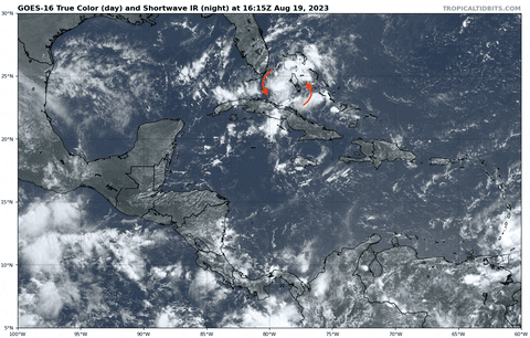
Hope this heavy tropical rain SFL is getting from this TW today makes its way to TX…