Tropical Weather Outlook
NWS National Hurricane Center Miami FL
800 PM EDT Wed Jul 26 2023
For the North Atlantic...Caribbean Sea and the Gulf of Mexico:
Eastern Atlantic:
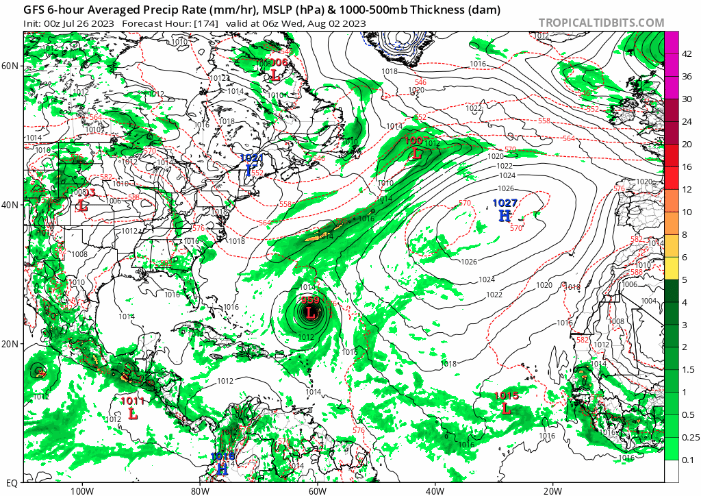
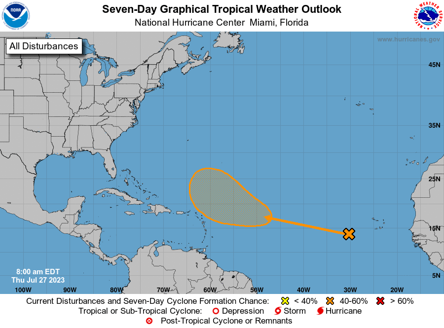
A tropical wave is located a couple of hundred miles to the
southwest of the Cabo Verde Islands. Conditions are expected to be
favorable for gradual development of this system later this
week, and a tropical depression could form over the weekend or
early next week while it moves westward to west-northwestward over
the tropical Atlantic.
* Formation chance through 48 hours...low...near 0 percent.
* Formation chance through 7 days...medium...40 percent.
$$
Forecaster Beven
NWS National Hurricane Center Miami FL
800 PM EDT Wed Jul 26 2023
For the North Atlantic...Caribbean Sea and the Gulf of Mexico:
Eastern Atlantic:
A tropical wave is located a couple of hundred miles to the
southwest of the Cabo Verde Islands. Conditions are expected to be
favorable for gradual development of this system later this
week, and a tropical depression could form over the weekend or
early next week while it moves westward to west-northwestward over
the tropical Atlantic.
* Formation chance through 48 hours...low...near 0 percent.
* Formation chance through 7 days...medium...40 percent.
$$
Forecaster Beven