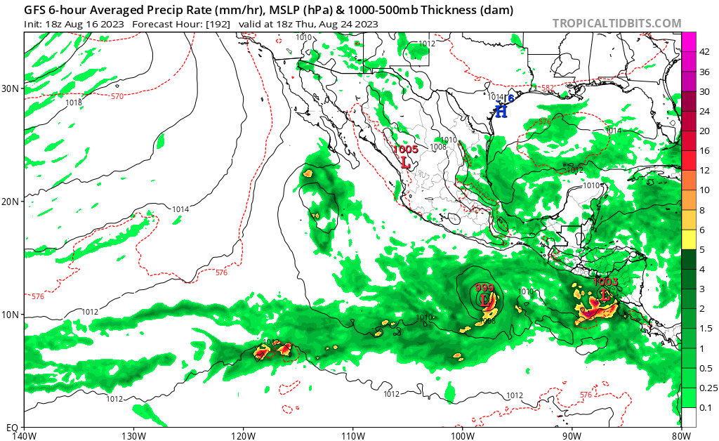
Off the Coast of Southern Mexico:
A tropical wave continues to produce a large area of disorganized
showers and thunderstorms over the far eastern portion of the east
Pacific. Environmental conditions appear conducive for development
during the next several days, and a tropical depression is expected
to form by midweek while the system moves west-northwestward,
roughly parallel to the coast of southern and southwestern Mexico.
* Formation chance through 48 hours...low...30 percent.
* Formation chance through 7 days...high...90 percent.